Picture this: in Colombia, the rain dances down relentlessly, earning it the crown for the wettest place on Earth. Imagine lush landscapes, where some regions are perpetually submerged under a deluge of up to 127.5 inches (3,240 millimeters) of rainfall annually. It’s a watery wonderland, where umbrellas are a constant accessory, and rain boots are a must-have.
But fear not, fellow Americans, for we reside in a land of climatic diversity where extremes are tempered. While Colombia boasts its rainy reign, Egypt stands as a testament to aridity, with parts of the country receiving less than a meager inch (250 millimeters) of rainfall in a year. Yet, the United States, with its vast expanse and climatic diversity, falls somewhere in between.
Even the driest state in the U.S., Nevada, receives rainfall that’s nine times more abundant than the parched lands of Egypt. And while we may not experience the deluge of Colombia or the aridity of Egypt, the United States flaunts its own climatic tapestry.
As the third-largest country on the planet, beaten only by the expansive reaches of Russia and Canada, the U.S. offers a smorgasbord of precipitation patterns. From the misty Pacific Northwest to the sun-kissed plains of the Midwest, our nation experiences a kaleidoscope of annual rainfall rates, each contributing to the vibrant mosaic of our landscape.
So buckle up, dear reader, as we embark on a journey through the rainy realms of the United States. From the soggy shores of the Pacific to the desert oases of the Southwest, we’ll unravel the mysteries of our nation’s rainfall patterns, one drop at a time. Let’s dive in and explore the fascinating world of precipitation in the land of the free and the home of the brave!
We compiled this list of the wettest states based on a study by Current Results using data spanning nearly three decades from the National Oceanic and Atmospheric Administration, along with supplementary insights from the State Climate Summaries by the North Carolina Institute for Climate Studies.
Note that these figures represent the average annual precipitation for each state as a whole. Yes, rainfall can vary a lot even within a single state, so we’ve taken the state’s average rainfall for this report.
1. Hawaii

- Annual Precipitation: 63.7 inches (1,618 millimeters)
Topping the list, Hawaii is the rainiest state in the U.S., with an average annual rainfall of 63.7 inches (1,618 millimeters). Its unique position in the tropics means that it gets more precipitation than any other state.
Rainfall in Hawaii varies dramatically across the state; the windward slopes of mountains can receive over 300 inches of rain per year, while the leeward coastal areas might see as little as 20 inches.
2. Louisiana
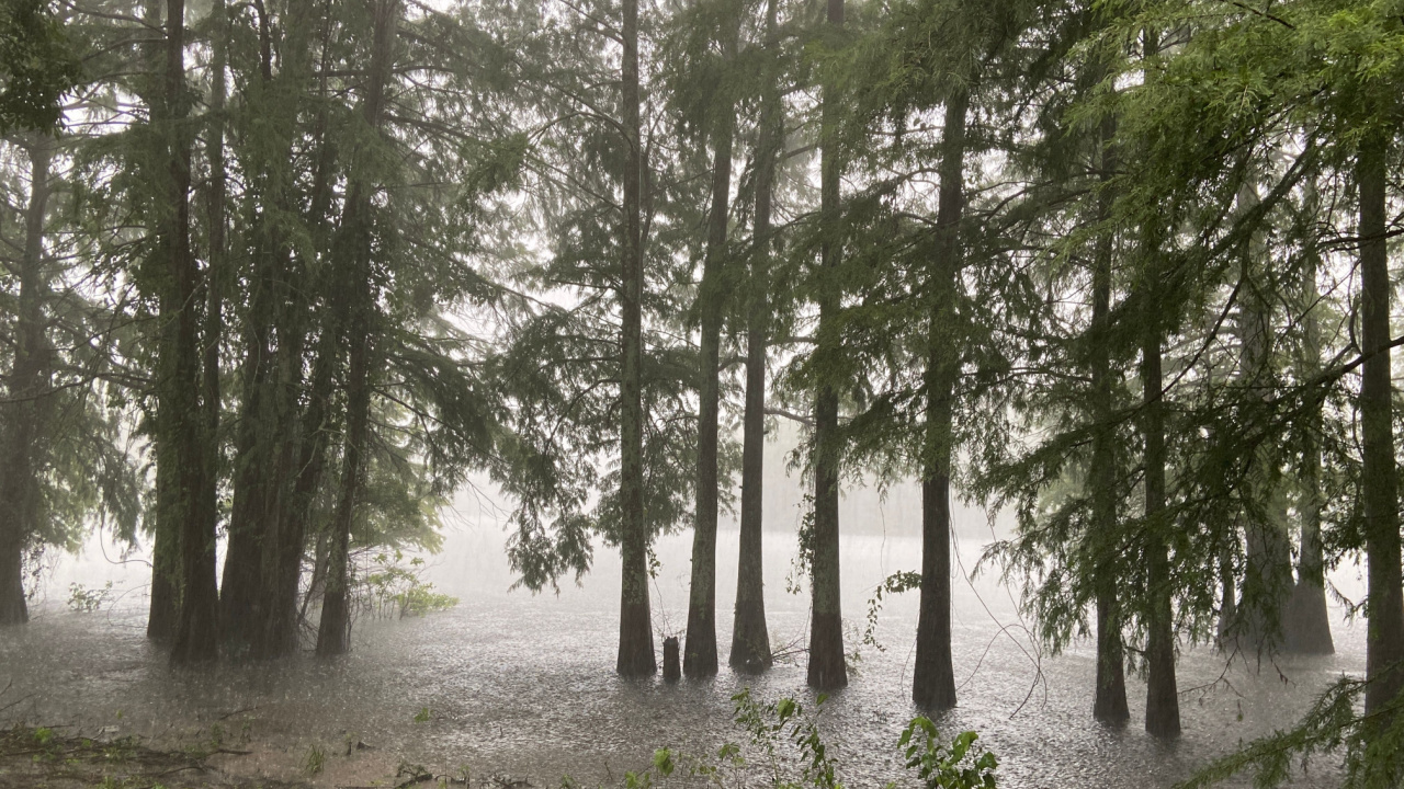
- Annual Precipitation: 60.1 inches (1,527 millimeters)
Louisiana, receiving 60.1 inches (1,527 millimeters) of rain per year, is the second rainiest state in the U.S. New Orleans, one of the rainiest cities in the country, significantly contributes to this average. Louisiana is the most precipitous in the contiguous United States.
3. Mississippi
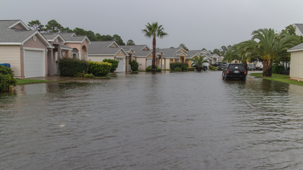
- Annual Precipitation: 59 inches (1,499 millimeters)
With an average annual precipitation of 59 inches (1,499 millimeters), Mississippi takes the third spot. Since the inception of the United States Drought Monitor map in 2000, Mississippi has enjoyed being completely drought-free about 48% of the time from 2000 to 2020.
4. Alabama

- Annual Precipitation: 58.3 inches (1,481 millimeters)
Alabama receives an average of 58.3 inches (1,481 millimeters) of rainfall annually, making it the fourth wettest state in the nation. The Gulf of Mexico plays a pivotal role in this, as it consistently sends moisture-laden air into Alabama’s atmosphere.
5. Florida

- Annual Precipitation: 54.5 inches (1,384 millimeters)
Despite its nickname as the Sunshine State, Florida ranks fifth rainiest in the U.S., with an annual precipitation of 54.5 inches (1,384 millimeters). This state is known for its frequent thunderstorms, more than any other state in the country. The warm climate, abundant sunshine, and high moisture levels create the perfect conditions for these frequent and sometimes severe thunderstorms that often bring with them a tremendous amount of rain.
6. Tennessee
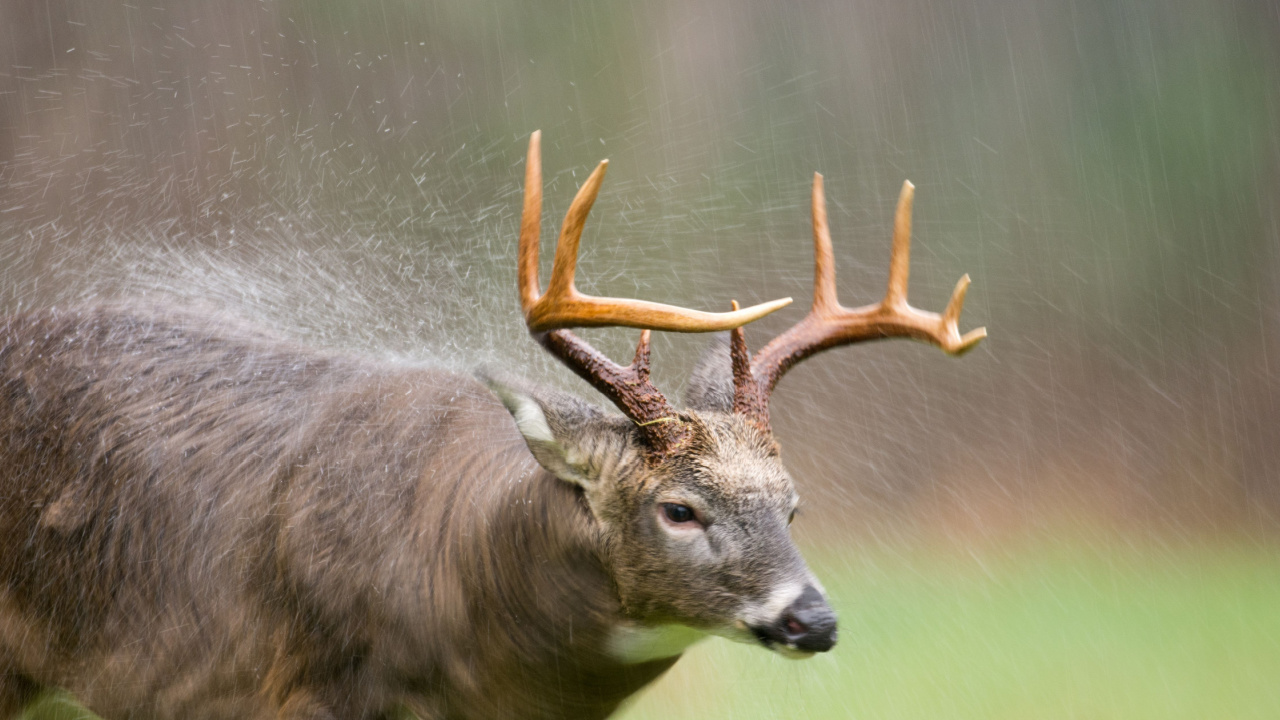
- Annual Precipitation: 54.2 inches (1,377 millimeters)
Ranking sixth, Tennessee is drenched with an average of 54.2 inches (1,377 millimeters) of rain per year. The state is so frequently wet, especially in the higher elevations, that parts of the Great Smoky Mountains are considered a temperate rainforest.
7. Georgia

- Annual Precipitation: 50.7 inches (1,288 millimeters)
Seventh on the list, Georgia receives about 50.7 inches (1,288 millimeters) of rain annually. The northeastern mountainous regions of the state are particularly wet, with upwards of 70 inches of rainfall each year. Known as the Peach State, Georgia’s abundant precipitation is supports its agriculture, including growing those beautiful, juicy peaches.
8. Arkansas

- Annual Precipitation: 50.6 inches (1,285 millimeters)
With an average annual rainfall of 50.6 inches (1,285 millimeters), Arkansas ranks eighth. The state is known for its intense summer thunderstorms. The weather here can be described as wild, with a mix of severe thunderstorms, tornadoes, heavy rains leading to localized flooding, and even winter ice storms.
9. (tie) Connecticut
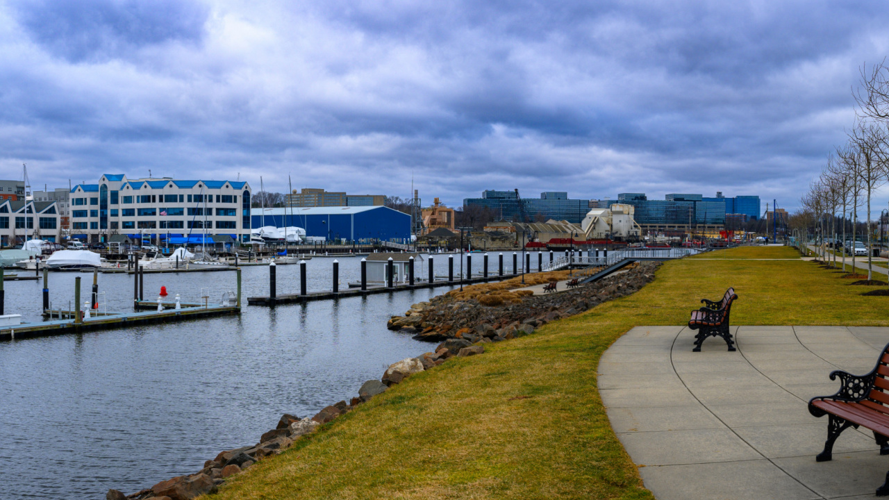
- Annual Precipitation: 50.3 inches (1,278 millimeters)
Tied for ninth place, Connecticut sees an annual precipitation of 50.3 inches (1,278 millimeters), largely thanks to the nearby jet stream. This atmospheric current is a significant factor in bringing both rain and snow to the region. In Connecticut, snowfall adds to the precipitation totals, varying from 30 inches along the coast to over 50 inches in the Northwest Hills.
9. (tie) North Carolina

- Annual Precipitation: 50.3 inches (1,278 millimeters)
Also tied for ninth, North Carolina matches Connecticut with an annual precipitation of 50.3 inches (1,278 millimeters). In this state, July stands out as the wettest month, bringing heavy rains that nourish the soil and support the state’s agriculture and natural ecosystems.
10. South Carolina

- Annual Precipitation: 49.8 inches (1,265 millimeters)
South Carolina has an annual average precipitation of 49.8 inches (1,264 millimeters). The state experiences a significant variation in rainfall across its regions. The coast and lowcountry areas, for instance, sees less rain, with Beaufort receiving 45 inches (1,144 millimeters), while some upstate regions, particularly at Caesars Head State Park, record much higher levels at 74.2 inches (1,885 millimeters).
11. Kentucky

- Annual Precipitation: 48.9 inches (1,232 millimeters)
Kentucky averages an annual precipitation of 48.9 inches (1,232 millimeters). The rainfall is fairly distributed throughout the year. The place that tends to get the most rainfall is Murray, in western Kentucky, with an average of 58.1 inches (1,475 millimeters), while the driest place is Harrington Lake, with 45.9 inches (1,166 millimeters) in a typical year.
17 Most Devastating Tornadoes In History
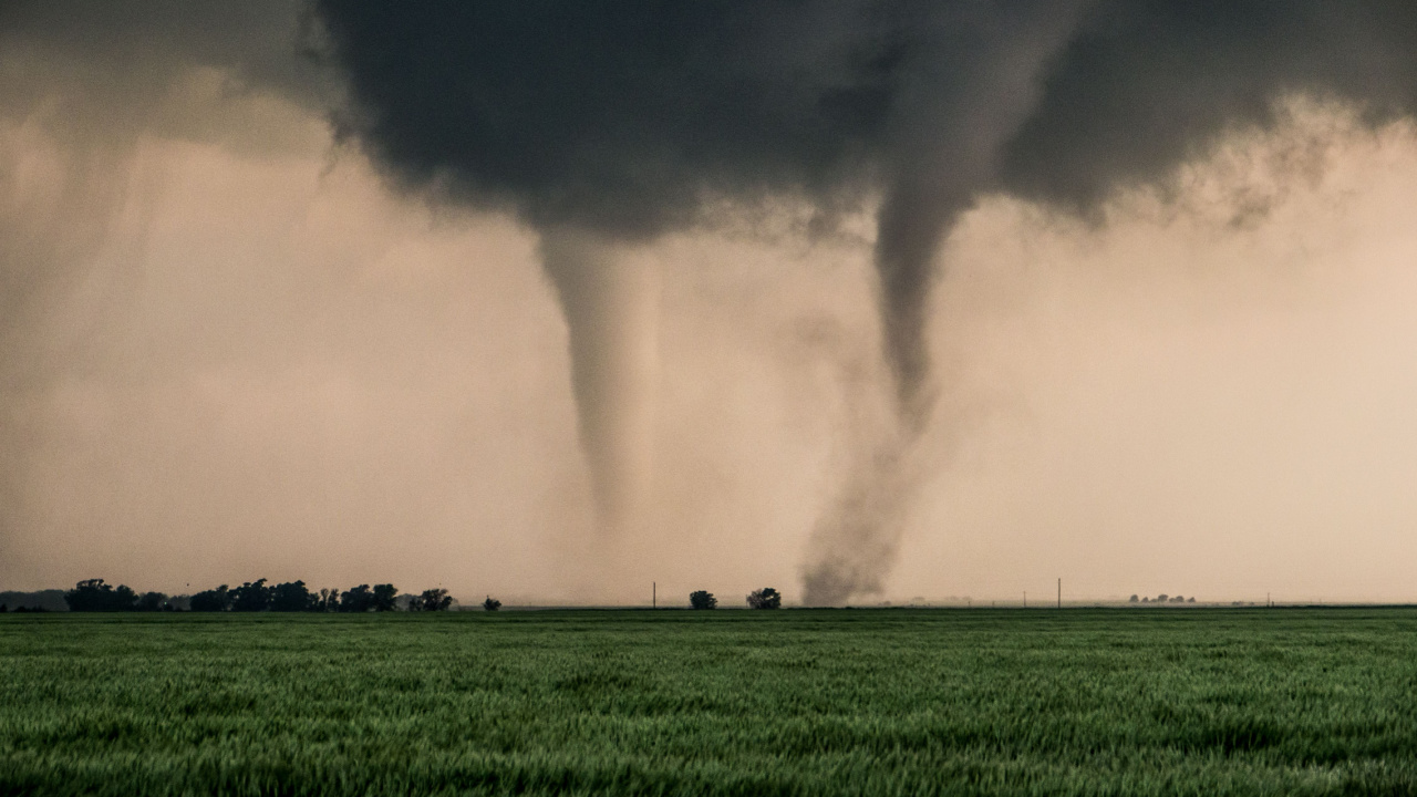
Nature’s fury is terrifying, and tornadoes are among the most deadly natural phenomena. These 17 deadly tornadoes highlight nature’s power and the resilience of humans in the aftermath of such devastation.
24 Most Devastating Blizzards in US History
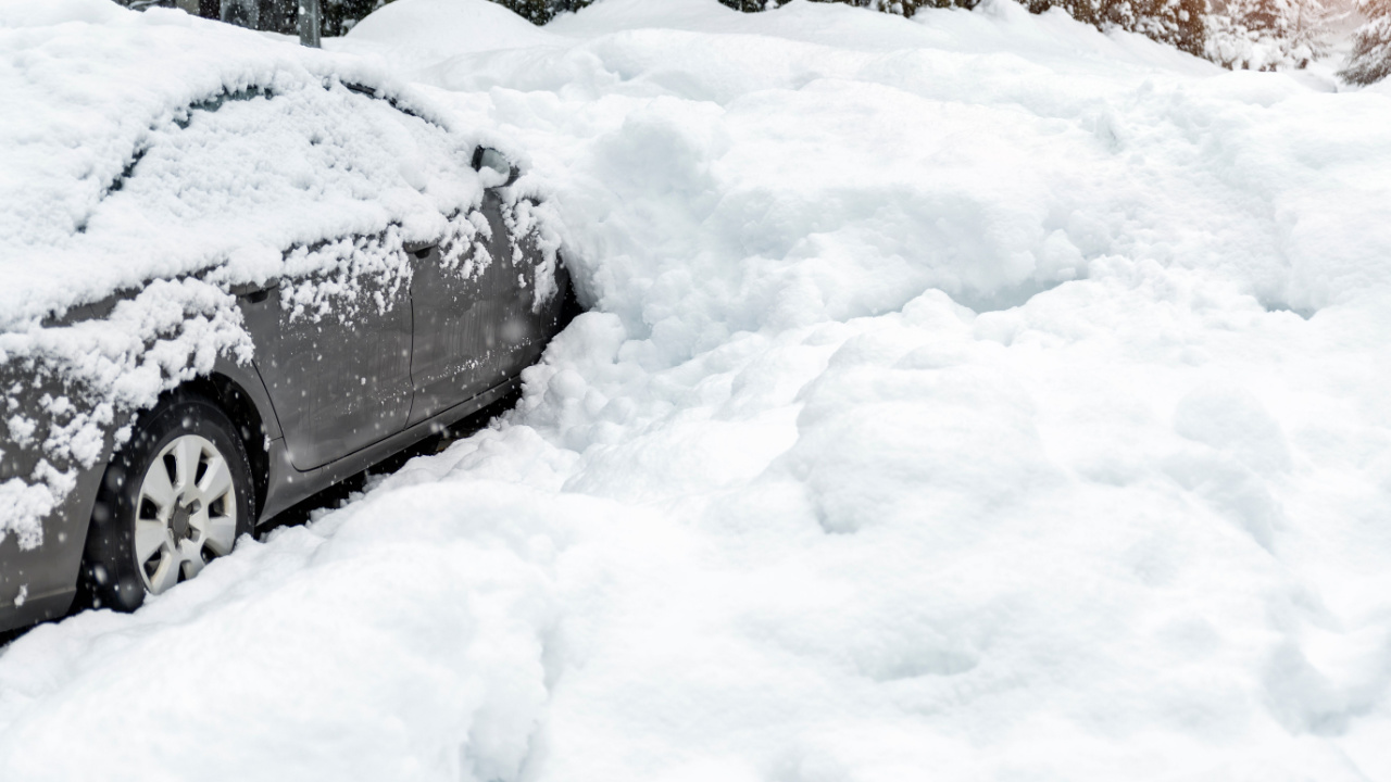
For preppers, understanding the power and impact of historic blizzards is key to being prepared for future winter emergencies. Each of these historic snowstorms teaches valuable lessons about resilience, planning, and survival. The more prepared we are, the better our chances of survival in an emergency scenario.
- Read More: 24 Most Devastating Blizzards in US History
23 Riskiest Cities To Be During a Power Grid Collapse
In a world where the stability of our power grid is increasingly under threat, knowing which urban areas to avoid during a blackout is crucial for any serious prepper. And which areas to escape as quickly as possible. When you’re making your survival plans, keep in mind that these are the places you don’t want to be.

Katy Willis is a writer, lifelong homesteader, and master herbalist, master gardener, and canine nutritionist. Katy is a preparedness expert and modern homesteader practicing everyday preparedness, sustainability, and a holistic lifestyle.
She knows how important it is to be prepared for whatever life throws at you, because you just never know what's coming. And preparedness helps you give your family the best chance to thrive in any situation.
Katy is passionate about living naturally, growing food, keeping livestock, foraging, and making and using herbal remedies. Katy is an experienced herbalist and a member of the CMA (Complementary Medical Association).
Her preparedness skills go beyond just being "ready", she's ready to survive the initial disaster, and thrive afterward, too. She grows 100% organic food on roughly 15 acres and raises goats, chickens, and ducks. She also lovingly tends her orchard, where she grows many different fruit trees. And, because she likes to know exactly what she's feeding her family, she's a seasoned from-scratch cook and gluten-free baker.
Katy teaches foraging and environmental education classes, too, including self-sufficient living, modern homesteading, seed saving, and organic vegetable gardening.
Katy helps others learn forgotten skills, including basic survival skills and self-reliance.
She's been published on sites such as MSN, Angi, Home Advisor, Family Handyman, Wealth of Geeks, Readers Digest, and more.
