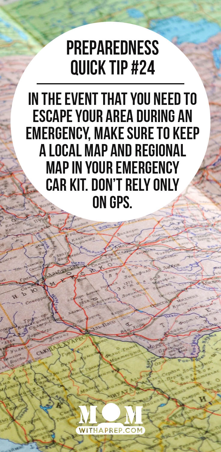
While in everyday driving mode, you probably know exactly where you are and where you are going, but what happens if you are in unfamiliar territory…or an emergency happens & you are forced to drive in an unknown route…having a map can truly save you!
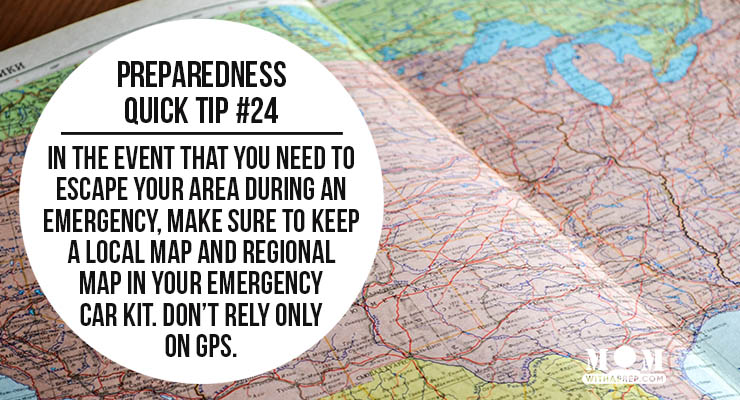
Having a GPS/map app on your phone is always a good thing, but because we can’t always rely on electronic technology, a paper map is a good item to have tucked away in your car. Preferably, you should have something like the Roads of _________ (insert state name here – see this example of the Roads of Texas atlas we keep in our cars at all times) that gives detailed maps of most of your state, or at least a good regional map of your area. You can also get local maps and a US map (or your country’s map) from any of the following locations
Where to get road maps for your emergency kits
- Gas Stations
- Tourist Bureaus
- City welcome packets
- Printed off the internet
- Book stores / Big Box Stores
- Travel Agencies/Roadside Assistance – like AAA or your insurance company
Suggestions from readers on the Facebook Page:
- Create your own customized map and have it printed for you.
- City Hall or Utility offices
- Amazon
- Topographical maps from the United States Geological Services
- What’s your suggestion?
DO YOU HAVE AN ESCAPE PLAN?
Here are some helpful links for maps for your phone:
But please make sure you have a physical map in your get home bag, your emergency car kit or in your glove box. It may seem redundant, but it’s back up of your back up.
See the rest of the Preparedness Quick Tips here:


Becky is a wildlife enthusiast and pet and livestock care expert with a diploma in canine nutrition. With over a decade of experience in animal welfare, Becky lends her expertise to Simple Family Preparedness through insightful info about pets, livestock, bee keeping, and the practicalities of homesteading.